|
|||||||||
 |
 |
 |
 |
 |
 |
 |
|||
 |
 |
 |
 |
 |
 |
 |
 |
 |
 |
 |
 |
|
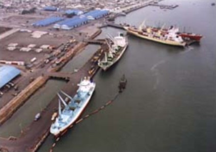
PUERTO BOLIVAR Puerto Bolivar is located in the Santa Rosa Creek, in front of the Jambeli Island. Its coordinates are: Lat 03º 15´55´´ S Lon 80º 00´01´´ W
1. CHANNEL The channel has a length of 4,5 miles from the sea buoy to the berth, with a depth of 11 meters 1.1 Lights and buoys There are 4 buoys and 1 light on the channel navigation route PORT CONDITIONS AND FACILITIES 1. TYPE AND QUANTITY OF BERTH 1.1 Container Berth a) General cargo berth - One marginal berth with a total length of 372 meters and 10 meters depth. This berth is joined to land through three passages of 27 meters length and 14 meters wide. b) General cargo berth -1 pier of harbor berth, with two pier sides with a length of 120 meters, wide 30 meters and depth of 8 meters. 1. QUANTITY OF CONTAINER TERMINAL /DEPOT There is no container terminal. However, there are 31,312 square meters of a reefer container yard. Puerto Bolivar Port Authority operates this reefer yard. There are no empty containers depot areas or services available. But there is enough area that could be serve for that purpose. Security system / Guards A private security guard company is in charge of the port security entrance. The Ecuadorian navy does the waterside security of the Port. Miscellaneous Puerto Bolivar is mainly banana cargo port, 97% of the total port mobilized cargo is banana. Divided on 52% as general cargo (banana boxes), 46% palletized banana and 2% in reefer containers. The rest 3% of the port cargo are imports of paper bobbins and fertilizers in bags. Actually the port is going through a concession process, dividing the port into 2 terminals. This process considers the construction of two more berths of 360 m total, the construction of a container yard and other investment for port improvement.
|